
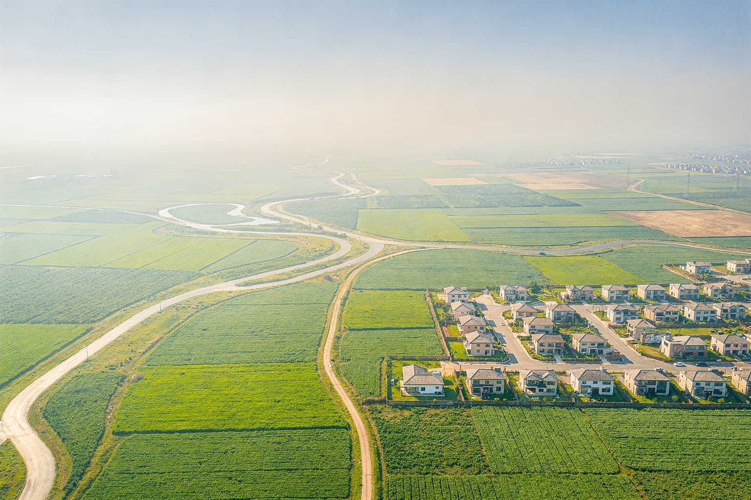
Turn your drone photos into an aerial map
Upload a flight and get one true-scale, top-down map of your site — stitched automatically, ready to measure, export, and share. No desktop software, right in your browser.
Every account includes 4 maps a month free · works with any drone that geotags photos
A map in three steps
Fly & upload
Fly a normal mapping pattern, then drag your geotagged photos into your browser — any drone that records GPS.
We stitch it
Your photos are automatically stitched into one true-scale, top-down aerial map (a 2D orthomosaic, ~5 cm/pixel).
Measure & share
Measure distances and areas on the map, export it, and share a link with your team or agency.
Put a map to work for your mission
From a fire scene to a construction site, get an accurate overhead picture on demand — no survey crew required.
Map your first site today
Mapper is live in every DroneReady account — the first 4 maps each month are free, and plans raise your limit when you need more.